
ستيا | إدارة البيانات المتجهة والنقطية نظام Setia هو نظام إدارة بيانات الموقع الذي لديه القدرة على تحميل و عرض كمية هائلة من المعلومات المكانية بما في ذلك بيانات المتجه (الخرائط)و البيانات الرقمية والنقطية (صور جوية ، أقمار صناعية ، نموذج ثلاثي الأبعاد) و لها صيغ وأنماط مختلفة وهي إحدى ميزات البرنامج. من الممكن الرجوع إلى Google Labels و OSM و Virtual Labels ذلك يمكن مشاهدتها عبر الإنترنت على البرنامج. .
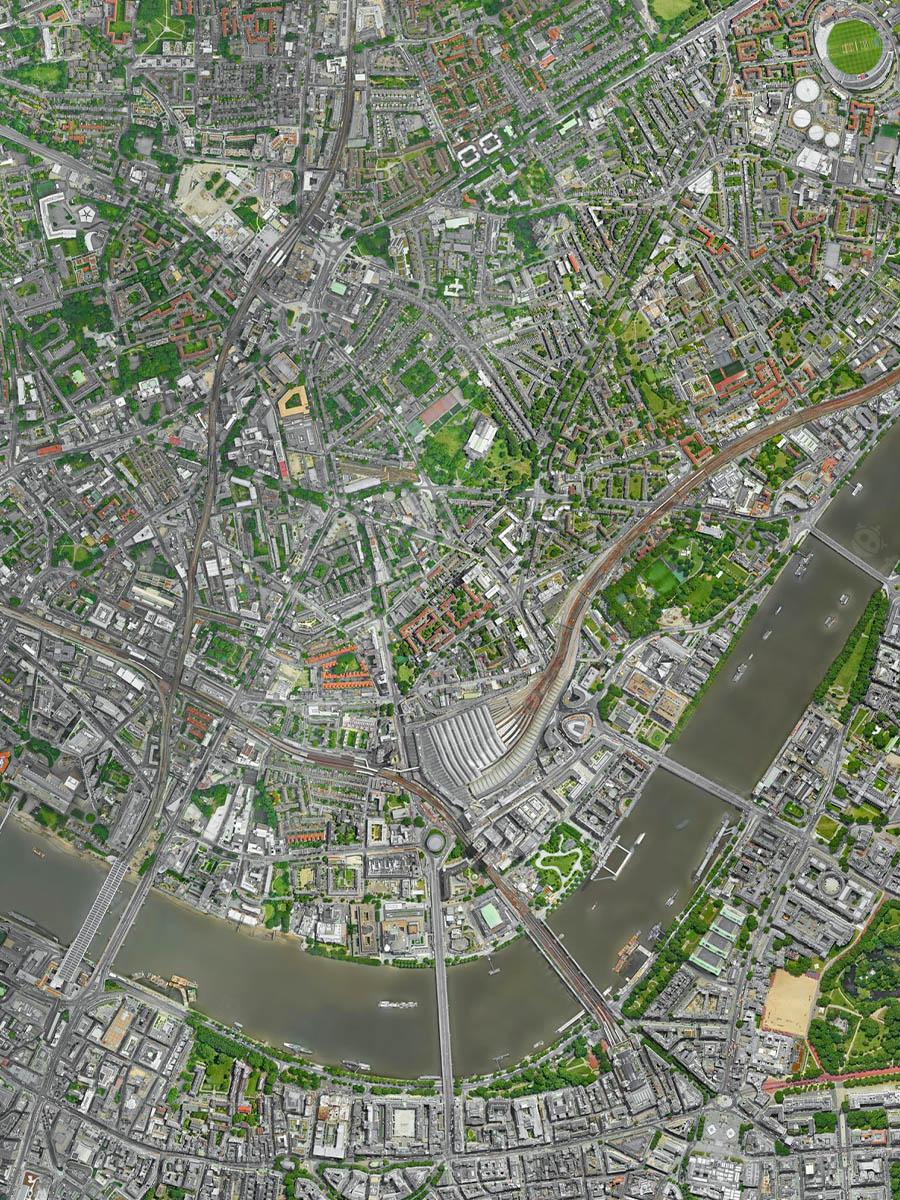
CETIA is a geospatial data management system that enables great deal of geospatial information to be properly loaded and displayed, including vector data (digital maps) and raster data (aerial images, satellites, 3D models of the earth) in various formats and modes. The software display features include OSM, Google Lables and Virtual Lables, which can be viewed online on the software.